—— How SSOLAS Works
Seismic sensing today.
Automated detection and learning ahead.
SSOLAS is designed to deploy sensors, process data in near real time, and improve with every site surveyed. Field testing demonstrates the core sensing and analytics approach.
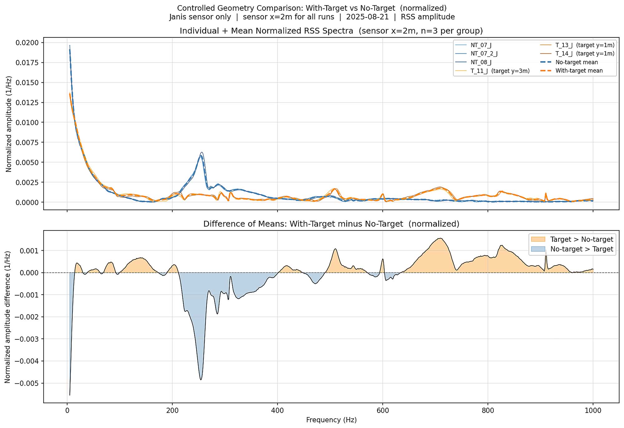
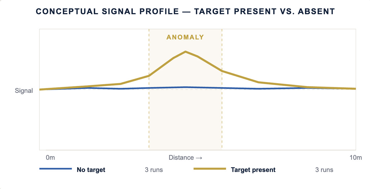
Photo: SSOLAS field demonstration setup for testing at Texas A&M’s Bush Combat Development Complex. Sensors deployed in sand, data acquisition running in real time. Buried targets detected in controlled conditions across three soil types.
The ground has a signal. SSOLAS hears it.
Deployment & Data Acquisition
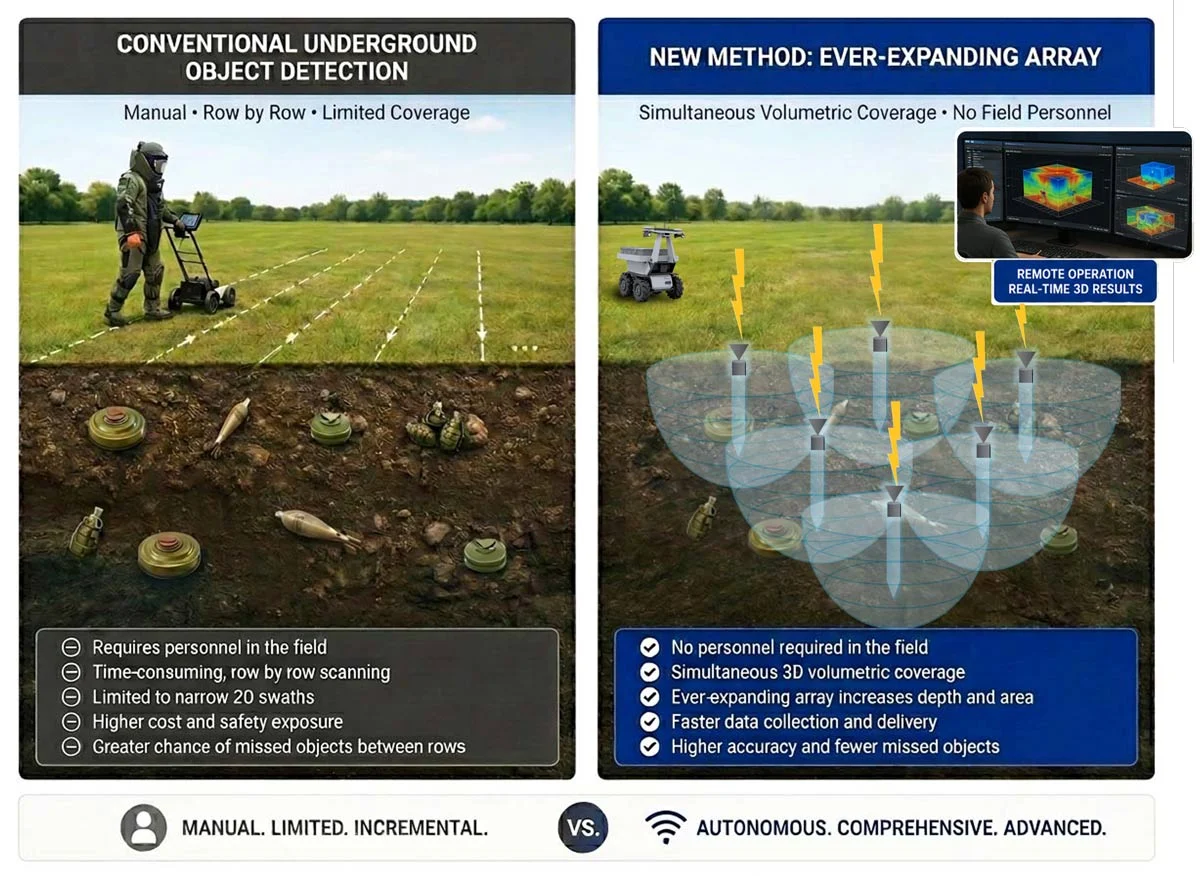
Volumes, not strip by strip.
Conventional methods search ribbons — sequential surface passes, narrow swath by narrow swath, with personnel in the field at every step. It is designed for sensors to be deployed by uncrewed vehicles cover the ground simultaneously, with spacing that adapts in real time to what the signal demands.
The difference isn’t just speed. Because SSOLAS measures signal loss at each location rather than assuming uniform soil, detectable object size is known in real time — not estimated from reference data after the fact.
Based on Gorin et al., “Hyperlocal Seismic Soil Characteristic Measurements for Unexploded Ordnance Detection,” EarthArXiv preprint, April 2026.
From Field to Cloud
Field validation today. Global learning system tomorrow.
SSOLAS processes data in near real time, allowing the system to continuously improve. As the system scales, each site surveyed will strengthen the detection approach.
Demonstrated (Current Testing)
1
Real-Time Data Processing
Sensors deployed in field conditions acquire and process seismic data in real time, identifying subsurface targets across varying soil types.
Next Phase (SEEKING FUNDING)
GoVentures is pursuing federal funding to advance from field validation to integrated platform development through submissions to the Army ERDC, NSF, and NASA. We are currently awaiting responses.
2
Global Soil Knowledge Base
Each deployment will contribute to a growing dataset of seismic soil characteristics and detection outcomes across threat types and environments.
3
AI-Assisted Pattern Recognition
As the system scales, AI analysis will identify patterns across soil types and threat signatures, improving detection accuracy with each deployment.
GoVentures is pursuing federal funding to advance from field validation to integrated platform development through submissions to the Army ERDC, NSF, and NASA.